MTB Trails
 English
 Italiano
 Deutsch
Trail Description
Referente LUIGI - (ruotalpina@alice.it) - Ultima ricognizione 05/12/2012
SCHEDA TECNICA
Lunghezza = 38 Km - Dislivello Sal/Disc = +1250 m
Quote min/Max = 40 / 900 - Ciclabilità su tempo 96% (a piedi 10 min )
Tempo Standard ore 4:0 min
Velocità media = 9,5 Km/ora - Difficoltà Tecnica = 4/7 - G.D. = 58 Medio/Difficile
NOTA 1) Non è stato possibile definire un verso di percorrenza perchè il giro si compone di 4 anelli che sono congiunti da tratti percorsi nei due sensi.
Sarà opportuno accompagnare al GPS la presente descrizione che precisa il verso da prendere all'inizio dei vari anelli.
NOTA 2)Sono possibili molte varianti ridotte; ne suggeriamo 2:
- Dal wp G q. 740 si può scendere subito, evitando l'anello alto (Parco dei Carbonai).
- Nel finale, dopo il tratto alla base delle cave,dal wp R3 q. 80, si può rientrare facilmente a Caneva, evitando la salita al Col de Fer.
DESCRIZIONE
Dal parcheggio in periferia sud di Caneva, si arriva in centro (trovate 2 bar)e si prosegue verso monte per 100 m quindi si prende a sx via Trento; il percorso sinuoso ed in lieve saliscendi, con numerosi bivi, ma sostanzialmente in dir. ovest , si tiene alla base del monte; a Stevenà si passa accanto ad una centrale idroelettrica e si noteranno due imponenti tubazioni dove l'acqua compie l'ultimo salto nel suo lungo cammino dal bacino di Soverzene al Livenza.
A Villa di Villa si cambia dir. puntando deciso verso monte;
NOTA:la strada, detta "dei Carbonai", porterebbe al Cansiglio, innestandosi a q 980 su quella che sale da Caneva (che a sua volta confluisce a q. 1080 sullla SR che sale da Vittorio V.to.
In questo percorso seguiremo a tratti la strada dei Carbonai, deviando su forestali o su stradine minori quando possibile.Queste stradine hanno in generale fondo buono (spesso cementato) ma pendenze assai irregolari e spesso estreme: 20% e oltre.
Prima deviazione a sx, nel wp B q. 130 (strada per Rugolo). Nel punto C si noterà un anellino che si chiude in Q: conviene tenere a sx in salita da C ed in discesa a dx da Q (molto più ripida).A q.400 si riprede la strada dei Carbonai e la si tiene fino a q.690 (wp F); bella e facile è la classica traversata che collega in G con la strada Rugoletto-Case Dal Cin. Da questo punto si sale su asfalto/cementato fin oltre la radura di case dal Cin. Segue un altro piacevole collegamento su forestale che riporta in dir est fino a rientrare sulla solita strada dei Carbonai. Per questa, si sale fino al bivio J (poco prima del Parco dei Carbonai) dove si consiglia la bella e facile digressione alla cima del Coll'Alto (q. 870) con monumento ai caduti ed eccezionale vista sulla pianura Veneto/Friulana: Caneva e Stevenà sono proprio sotto di noi. Tornati in J, si arriva presto al suddetto Parco (area pic-nic) dove con una festa ferragostana si rinnova annualmente la tradizione della produzione del "carbon dolce" dalla legna del bosco.Poco più in alto si abbandona ancora la strada principale per una forestale che si stacca sulla sx. Dopo 300 m di moderata salita si arriva al punto più elevato (q.900); un tratto piano, quindi, di fronte ad una sbarra, si tiene a sx e si inizia la discesa. Nel punto L si lascia la forestale (che a dx sale ad un poggio con casera)e si prende il sentiero boschivo sulla sx. A tratti diventa ripido e dissestato; foglie e rami possono nascondere insidie; i meno abili faranno bene a scendere di sella per brevi tratti. Il sentiero termina poco sopra Case dal Cin; Si scende per quella dell'andata fino in G (q.740) ma ora si tiene a dx. Giunti alla sella del Castelir (M q.585) si può optare per una digressione alla vicina cima oppure scendere (tratto ripido) direttamente al wp N q. 540. Da qui si tiene completamente a sx per un tratturo che sale alla baita delle Cornole e poi scende in Loc. Posocol (N2). Ritrovato il cemento di una stradina che adduce a vari casolari sparsi, si riprende un bel sterrato nel punto O (q. 520) e lo si tiene (attenti al bivio O1) fino a ritrovare la Strada dei Carbonai nel wp P q. 450. Da qui si fa a ritroso la strada dell'andata fino al punto Q dove, come già accennato, si può arrivare in C svoltando a sx.
Lasciamo definivamente la strada dei Carbonai nel punto B (q. 130) per la pedemontana panoramica ed in continuo saliscendi che rasenta vari accessi alle cave (anche per renderci conto di quale impatto sul territorio possano avere queste attività estrattive). Si arriva nel wp R3, poco a nord di Caneva dove, se il giro vi è bastato, tenete pure a dx e presto arriverete alle auto; se invece vi residuano energie e tempo.. ecco come proseguire:sulla sx, rasente al recinto di una cava, iniza un viottolo ghiaioso che si addentra in una valletta; la pendenza non sarebbe priobitiva ma alcune fonde canalette scavate dall'acqua sono insidioese: bisogna evitarle per restare in sella. Dopo 150 m la stradina devia a dx e poco dopo a sx, riducendosi a stretto sentiero; meno di 100 m a spinta per la pendenza "impossibile" e si arriva all'innesto sulla S.P. Caneva-Cansiglio (wp S q. 135). Si sale per la SP fino a q. 180 qindi si devia a dx verso l'evidente collina del Col de Fer (antenne sulla cima).Poco prima della cima si tiene a dx e si attraversa in piano una bella radura prativa: una gradevole discesa ci avvicina al castello che si raggiunge dopo aver attraversato un portale su antiche mura.Sosta panoramica ed ultime foto, poi giù per la ripidissima discesa verso Caneva. L'ultimo tratto percorre la SP per cui si arriva velocemente in centro alla cittadina e quindi al parcheggio.
Per arrivare a CANEVA si consiglia L'A27 fino a Conegliano quindi l'A28 fino al primo casello. Usciti, si prende la nuova strada di collegamento con la SS Pontebbana. Su questa si svolta a dx per Godega di Sant'Urbano e da qui a sx per Cordignano. Seguendo le indicazioni, dopo 3,5 Km si arriva al centro di Caneva dove si svolta a dx su Via Trieste e dopo 200 m si trova, sulla dx, il parcheggio.
Contact LOUIS - (ruotalpina@alice.it) - 05/12/2012 Last reconnaissance
TECHNICAL
Length = 38 Km - Climb Sal / Disc = +1250 m
Quote Min / Max = 40/900 - saddle on time 96% (10 min walk)
4 hours Standard Time: 0 min
Average speed = 9.5 km / h - Technical Difficulties = 4.7 - GD = 58 Medium / Hard
NOTE 1) It was not possible to define a direction of travel because the ride is composed of 4 rings that are connected by paths stretches in both directions.
Will be appropriate to accompany the GPS This description, which specifies the direction to be taken at the beginning of the various rings.
NOTE 2) Many variations are possible reduced; I suggest 2:
- From wp G q. 740 you can get off at once, avoiding the upper ring (Park Carbonai).
- In the end, after the stretch at the base of the quarries, the R3 wp q. 80, one can easily fall in Caneva, avoiding the climb to the Col de Fer.
DESCRIPTION
From the car park in the southern suburbs of Caneva, you arrive in the center (found 2 bar) and continue upstream to 100 m then take a left Via Trento; the winding path and a slight ups and downs, with many crossroads, but basically in dir. west, is held at the base of the mountain; to Stevenà you pass next to a power station and you will notice two massive pipes where the water has reached the final jump in his long journey from the basin of the Soverzene Livenza.
A Villa Villa changing dir. decided pointing upstream;
NOTE: The road, known as "the Carbonai", would lead to Cansiglio, grafting aq 980 of the one that goes from Caneva (which in turn flows to q. sullla 1080 SR rising from Vittorio V. to.
In this path we will follow the path of Carbonai at times, turning on trees or on smaller streets when possibile.Queste streets generally have good bottom (often cemented) but slopes very irregular and often extreme: 20% or more. Before
detour to the left, in the wp B q. 130 (road to Rugolo.) At point C you will notice a ring that is closed in Q: should keep left uphill and downhill from C to the right by Q (very steeper) .A q.400 you riprede Carbonai of the road and takes up to q.690 (wp F); nice and easy is the classical crossing in G that connects with the road Rugoletto Dal Cin-Houses. From this point climb on asphalt / cement until after the clearing of houses from Cin. Below is a link on another pleasant forest that brings in dir east to re-enter the same road of Carbonai. For this, you climb up to the junction J (just before the Carbonai Park) where we recommend the beautiful and easy digression to the top of Coll'alto (q. 870) with the war memorial and a stunning view over the plains Veneto / Friuli: Caneva and Stevenà are right below us. Back in the J, you arrive early to the aforementioned Park (picnic area) where a party ferragostana is renewed yearly tradition of the production of "soft coal" from the wood of bosco.Poco higher you still leave the main road for a forest that goes off to the left. After 300 m you reach a moderate climb to the highest point (q.900); a flat section, and then, in front of a bar, is held in the left and start the descent. In the L point you leave the forest (which right goes up to a hill with dairy) and take the path through the woods on the left. At times it becomes steep and uneven; leaves and branches can hide snares; the less able they will do well to get out of the saddle for short distances. The trail ends just above Case by Cin; Go down the first leg up in G (q.740) but is now held on the right. Once at the saddle Castelir (M q.585) you can opt for a detour to the nearby summit or down (steep) directly to wp N q. 540 From here we keep completely to the left for a sheep track that goes up to the hut of Cornole and then falls in Loc. Posocol (N2). Found the cement of a road that relies on various farmhouses scattered, shooting a nice dirt road at the point O (q. 520) and held (be careful at the junction O1) to find the Strada dei Carbonai in wp P q. 450 From here it is back the way of going to the point Q where, as already mentioned, you can get in C turning left.
Let definivamente Carbonai the way of the point B (q. 130) for the scenic foothills and in constant ups and downs that borders the various entrances to the cave (even realize what impact it may have on the territory of these mining activities). It comes in wp R3, just north of where Caneva, if the ride is enough, keep well to the right and soon you will reach the car; but if you residual energy and time .. here's how to proceed: on the left, hugging the fence of a quarry, Iniza a gravel path which winds in a valley; the slope would not be priobitiva but some blends are insidioese channels carved by water: we must avoid to stay in the saddle. After 150 m the road branches off to the right and left shortly afterwards, reduced to a narrow path; less than 100 but push for the slope "impossible" and you will come into place on the SP Caneva-Cansiglio (wp S q. 135). You go up to the SP to q. 180 qindi you turn right towards the hill clear of the Col de Fer (aerials on top) .Poco before the top is held to the right and cross in a nice flat grassy glade: a pleasant descent brings us closer to the castle which is reached after passing through a portal on ancient mura.Sosta overview and latest photos, then down the steep descent towards Caneva. The last stretch along the SP so you get faster in the town center and then to the parking lot.
CANEVA it is advisable to get to the A27 until then the Conegliano 'A28 up to the first tollbooth. Released, he takes the new road linking the SS Pontebbana. Here turn right to Godega of St. Urban, and from there left for Cordeaux. Following the directions, after 3.5 km you will reach the center of Caneva where you turn right on Via Trieste and after 200 m you will find, on the right, parking lot.
Map/Elevation
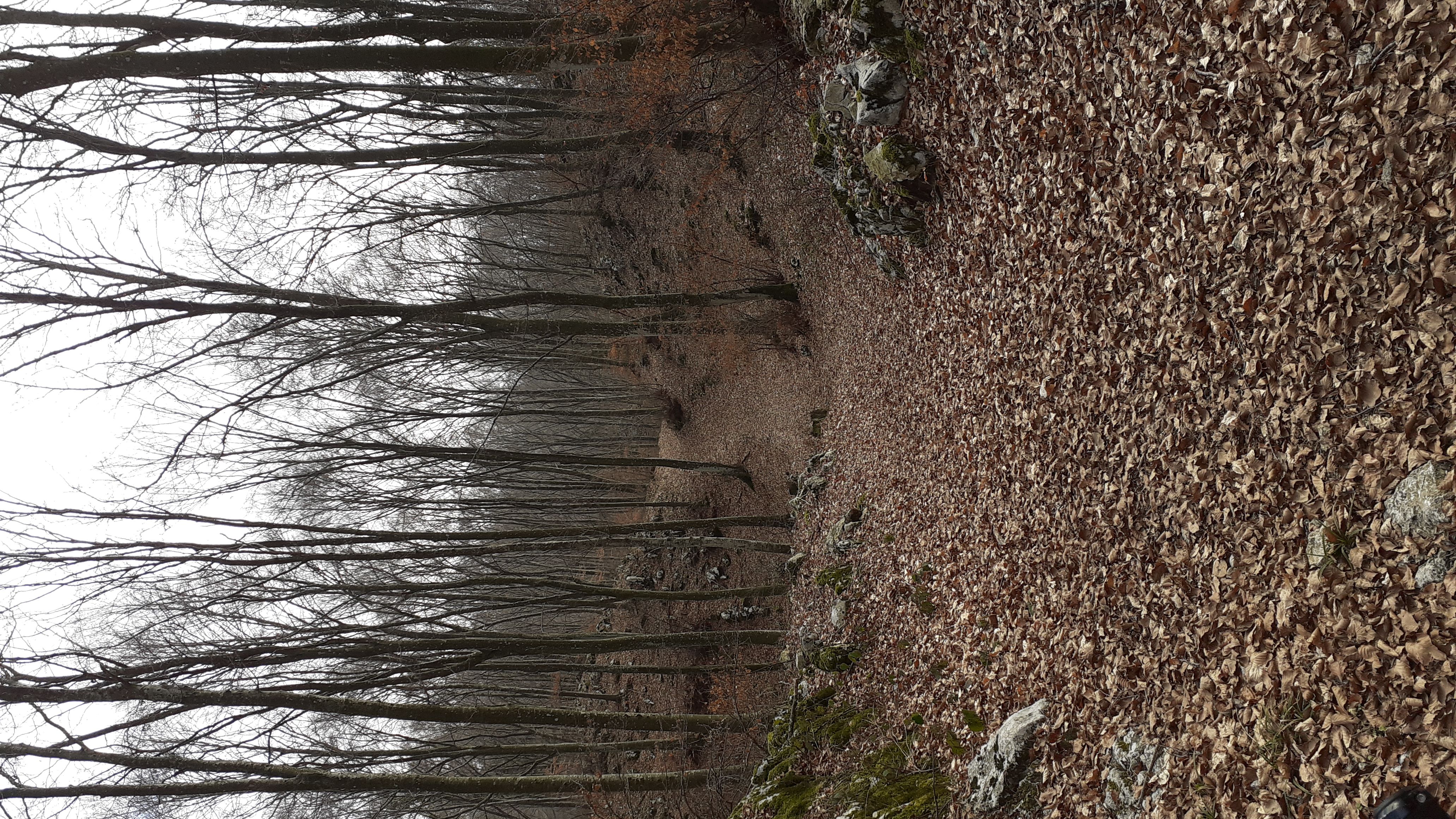
Pictures